Major Cities of Himachal Pradesh
Himachal Pradesh is synonymous with scenic beauty, serene landscape and adventure sports. Literally Himachal means “the land of snow”. Situated in the western Himalaya, Himachal Pradesh has several hill stations which are the most appropriate destination to find respite from the scorching summer heat.
MANALI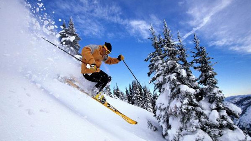
Just 40 kms away from Kullu to the north, Manali is situated near the end of the valley on the National Highway leading to Leh. The landscape here is breath taking. One sees well-defined snow capped peaks, the Beas river with its clear water meanders through the town. On the other side are deodar and pine trees, tiny fields and fruit orchards. It is an excellent place for a holiday, a favorite resort for trekkers to Lahaul, Spiti, Bara Bhangal (Kangra), and Zanskar ranges. From temples to antiquity, to picturesque sight-seeing spots and adventure activities, Manali is a popular resort for all seasons and for all travellers.
KULLU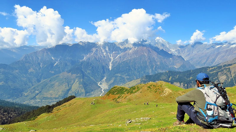
The most charming and beautiful Kulu valley spreads out its charm on either side of river Beas. The valley runs north to south of this river and is 80kms. long and about 2kms. at its broadest. Yet with awe inspiring glens and mossy meadows encircled by the rushing streams and meandering brooks, flung east & west, a fairly wide area is open to the tourists, the trekkers, the mountaineers, the artists and to anyone who wishes to escape the heat & dust of the plains to breathe the exhilarating air of the Himalaya and enjoy the spectacle of the variegated mountain scenery. The valley is also famous for its exquisitely woven colourful hand made shawls and kullu caps.
SHIMLA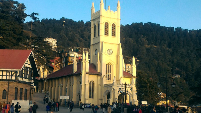
Within and around Shimla, the public and private sector offer an enormous range of accommodation that range from modern to heritage hotels. Like satellites placed around the centre, there are many resorts in Shimla’s periphery that are full-fledged destinations in their own right. These are located at Mashobra, Naldehra, Kufri, Shilon Bagh and Chail. En route by road from Kalka there are Parwanoo, Dharampur and Kasauli.
Some routes offer a greater variety of Shimla trees, shrubs, wildflowers and ferns. If you are lucky some bird species can also be sighted. Some suggested places are:
The Glen, and the narrow forest trail that runs above it and loops around Summer Hill. The Bharari spur. Towards the villages of Kamina and Pabo. Trek route down from Kamina to Tattapani.
DALHOUSIE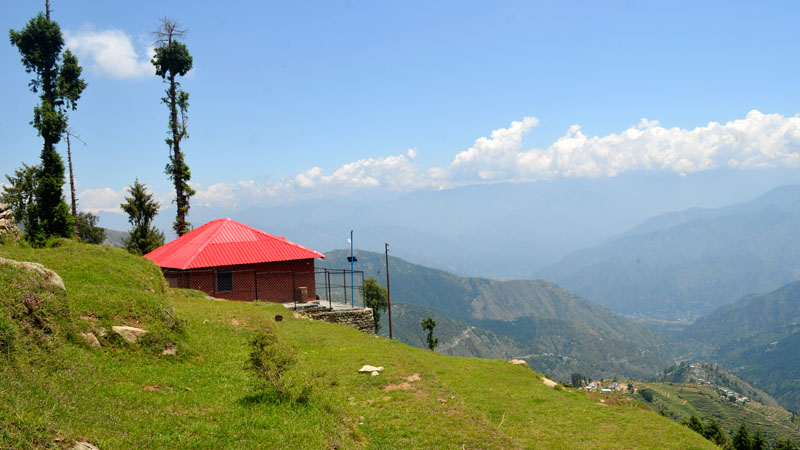
Dalhousie (2036 m) is a hill station full of colonial charm that holds lingering echoes of the Raj. Spread out over the five hills (Kathlog, Potreys, Tehra, Bakrota and Balun) the town is named after the 19th century British Governer General Lord Dalhousie. It was popular with the British Army personnel in 1860`s. The town’s varying altitude shades it with a variety of vegetation that includes stately grooves of pines, deodars, oaks and flowering rhododendrowns. Rich in colonial architecture, the town preserves some beautiful churches. St. John church is the oldest one built in 1863, St. Francis was built in 1894, St. Andrew in 1903 and St. Patric in 1909.
DHARAMSHALA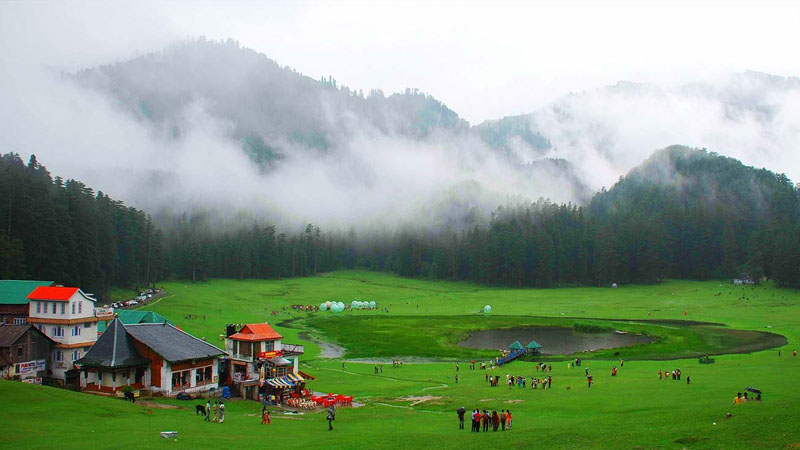
This is a hill station lying on the spur of the Dhauladhar range about 17 kms north- east of Kangra town. This hill station is wooded with oak and conifer trees and snow capped mountains enfold three sides of the town while the valley stretches in front. The snowline is perhaps more easily accessible at Dharamshala than at any other hill resort and it is possible to make a day`s trek to a snow-point after an early morning`s start. Dharamshala is also the headquarter of the Kangra district.
SPITI VALLEY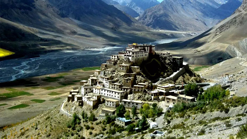
Spiti is the sub division of Lahaul & Spiti district with its hqrs. at Kaza. It is called “Little Tibet” because it has almost the same terrain, vegetation & climate . Spiti also means “Middle Country”. It lies between Tibet, Ladakh, Kinnaur, Lahaul & Kulu. From Shimla via Kinnaur there is a motorable road which remains open upto Kaza for 8 to 9 months. About 10kms. ahead of Pooh, satluj enters India near Shipki la & Spiti river joins it at Khab. The road then goes to Sumdo via Hangrang valley. From Sumdo Spiti valley starts. The Spiti river flows fast through deep gorges at some places. The valley is not wide but there are villages and some fields where people grow barley, buck- wheat, peas & vegetables. It has an area of 4800 sq. kms. Some inhabitants have adopted Budhism as there faith and Bhoti is the spoken language. The people are simple and honest. The main Spiti valley is split into eastern and western valleys. They are connected with Ladakh & Tibet on eastern side & Kinnaur and Kulu on western side through high passes.
CHAMBA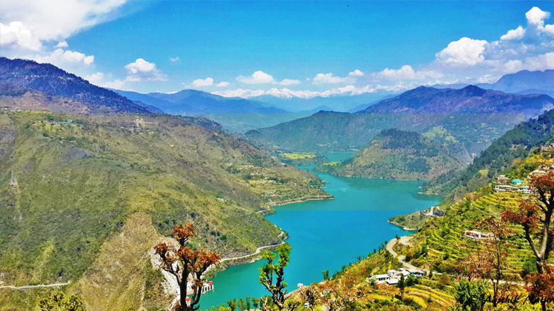
The town of Chamba, the district headquarter of Chamba district is situated in the western Himalayas between north latitudes 32°10` and 33°13` and east longitudes 75°45` and 77°33`. The town stands on a plateau on the right bank of the Ravi river valley between Dhauladhar and Zanskar ranges south of the inner Himalayas. This town was founded by Raja Sahil Varman when he conquered the lower Rani valley from the petty chiefs called Ranas and Thakurs in the beginning of 10th Century. It seems the original name of the town was Champa as mentioned in Kalhan`s Rajtarangani. In the bansauli or genealogical rolls of the Chamba Rajas a reference occurs of place which was adorned with highly fragrant Champaka trees and guarded by Goddess Champavati or more popularly known as
Chameshni. The temple was built by Sahil Varman in the honour of his daughter Champavati who is worshipped as a goddess in Chamba. Champavati temple became the family temple of the ruling family.

